By Frank Phillips
DLC Media News
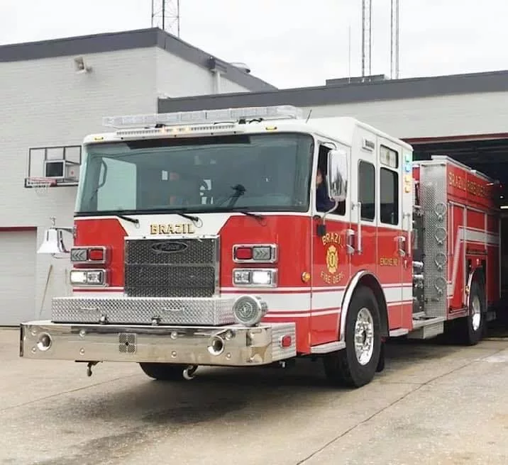
BRAZIL-The City of Brazil received good news about its ISO rating during Wednesday’s meeting fo the Brazil Board of Public Works and Safety.
The Insurance Services Office rating is important to property owners.
Brazil’s ISO rating is a 5 out of 10 with 1 being the highest and 10 the lowest.
Before the latest rating, Brazil was a 5 and almost a 6. Now, the city is rated a 5 and Chief Jake Bennett hopes to achieve a 4 rating in the future, which will save Brazil residents money on their insurance premiums.
Chief Bennett said the city had improved in different ways which led to the improved ISO score.
In other business:
Mayor Brian Wyndham said the city is picking up fallen tree limbs as quickly as possible and thanked residents for moving the limbs to the street curb.
“We cannot go on private property,” Mayor Wyndham said.
However, in addition to help from the Department of Corrections, a Southern Baptist church relief group helped with cleaning up limbs on Walnut Street.
On Wednesday, the city was working on the east side of town. The mayor said crews will continue to make sweeps through the city until all the storm damaged limbs are picked up from city street curbs.
Now that Brazil has received an MS4 (Municipal Separate Storm Sewer System) rating from the Indiana Department of Environmental Management, there will be requirements to meet.
One of the requirements is to count and identify the storm water structures (manholes, etc.) The Strand Company was hired by the city to map the stormwater system. At that time, it was believed the city had 250 structures. But, the company has now counted 765 stormwater structures, so the company went to the city for additional money to complete the mapping.
On Wednesday, the Board of Public Works and Safety approved an additional $50,000 in addition to the $22,000 originally allotted for the mapping project.
When completed, the public and city officials will be able to use a GIS map to see where the city’s storm water lines run.


