

Graphic
The National Weather Service in Indianapolis has issued a
* Tornado Warning for…
Northeastern Vigo County in west central Indiana…
West central Clay County in west central Indiana…
* Until 700 PM EDT.
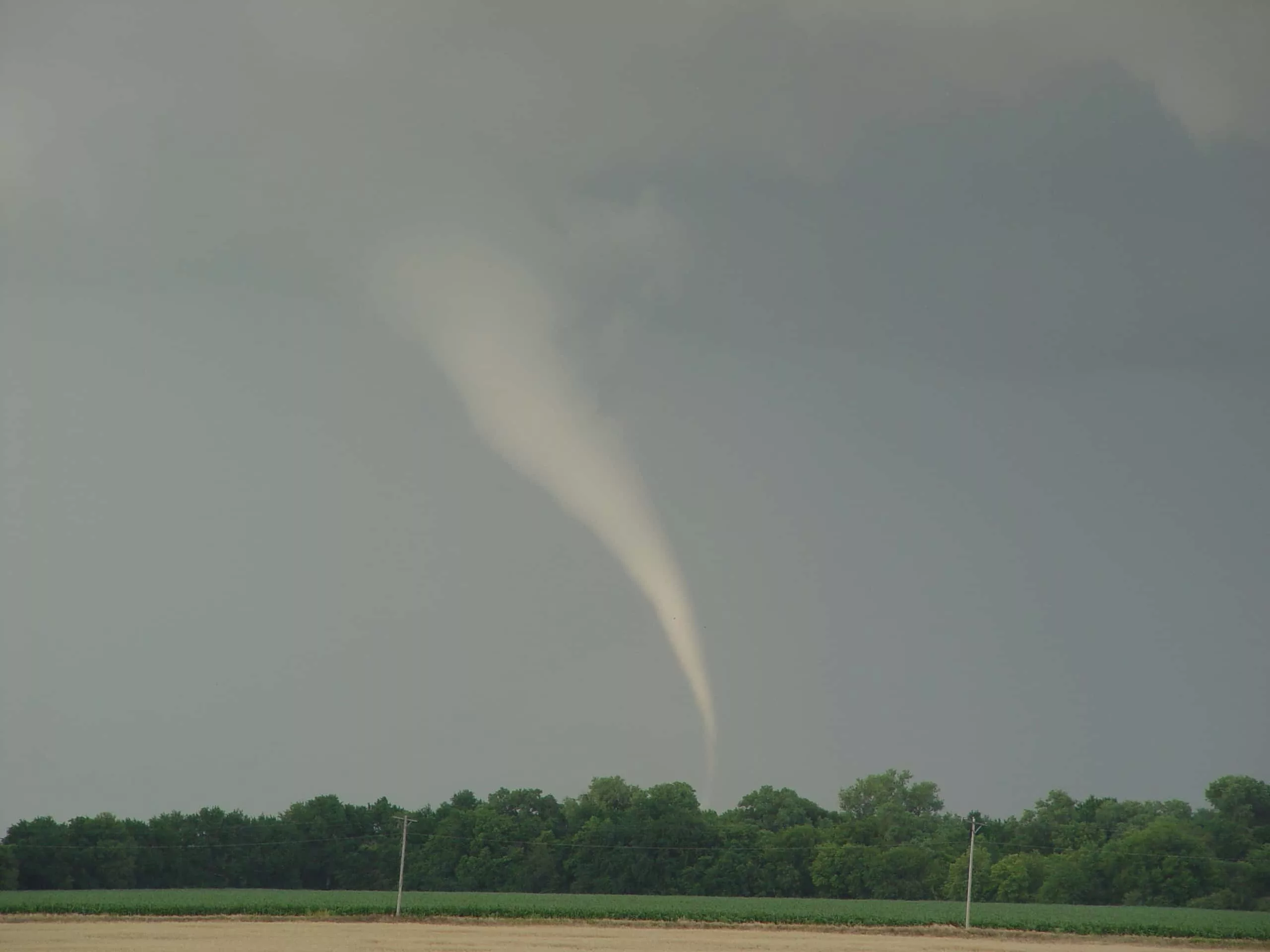
* At 626 PM EDT, a severe thunderstorm capable of producing a tornado
was located over Terre Haute, moving east at 20 mph.
HAZARD, Tornado.
SOURCE, Radar indicated rotation.
IMPACT, Flying debris will be dangerous to those caught without
shelter. Mobile homes will be damaged or destroyed.
Damage to roofs, windows, and vehicles will occur. Tree
damage is likely.
* This dangerous storm will be near…
North Terre Haute around 630 PM EDT.
Seelyville around 645 PM EDT.
Other locations in the path of this tornadic thunderstorm include
Fontanet.
This includes Interstate 70 between mile markers 3 and 18.
PRECAUTIONARY/PREPAREDNESS ACTIONS…
TAKE COVER NOW! Move to a basement or an interior room on the lowest
floor of a sturdy building. Avoid windows. If you are outdoors, in a
mobile home, or in a vehicle, move to the closest substantial shelter
and protect yourself from flying debris.